
-
Support from the Netherlands allows FAO’s WaPOR portal to expand geographical coverage
An innovative water management tool will expand to become available around the world thanks to a contribution from the Foreign Affairs Ministry of the Netherlands to the Food and Agriculture Organization of the United Nations (FAO).
FAO has developed and used data and information presented in a portal, known as WaPOR – Water Productivity through Open Access of Remotely sensed derived data – to provide near real-time data that can be used for a range of applications in agriculture and water resources management. The portal presently offers data that, at the coarser resolution, covers Africa and the Middle East.
The WaPOR project, centered on the database, works closely with 10 partner-countries to help build their capacity to use the data for optimizing water management and policy needs.
The additional funding of $4.95 million , announced today at World Water Week in Stockholm, will allow for a global expansion of the database and the addition of two new partner-countries in Asia and Latin America.
“This portal is proving of great use in ensuring that agricultural water resources are managed sustainably. Already in high demand, scaling it up to a global level is a challenge we are eager to lead,” said Lifeng Li, Director of FAO’s Land and Water Division.
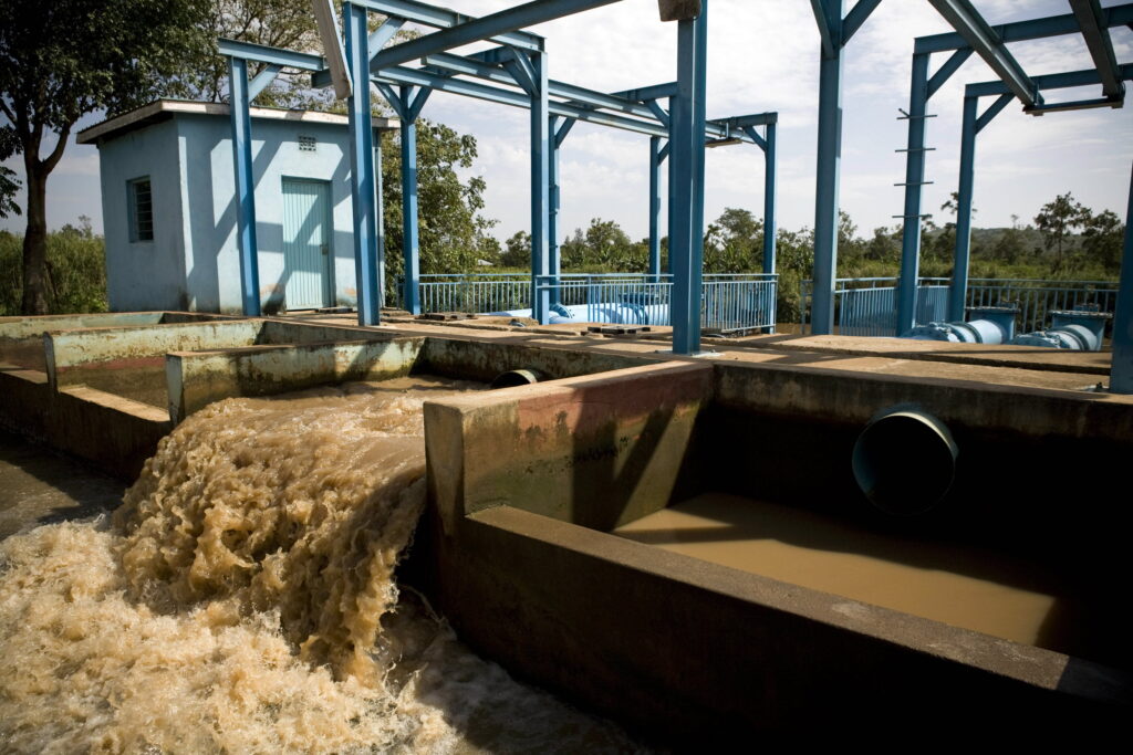
As seen through the historical drought in many Asian and European countries this year, sustainable water use is a key component of achieving food security, especially with increasingly frequent extreme climate conditions and increased water scarcity. Earth observation technologies allow for a variety of uses including the monitoring of water use patterns for agricultural production and can help ensure that this precious resource, especially irrigation water, is best harnessed.
“Water is the key enabler of the transition towards sustainable food systems and improved water governance is needed,” said Kitty van der Heijden, Director-General International Cooperation at the Ministry of Foreign Affairs of the Netherlands. That’s the reason we are keen to invest in knowledge and open data. We notice that the WaPOR has impact; it is increasingly used by both public and private sectors”
“Making WaPOR globally accessible is a very welcome opportunity and will bring enhanced information, including on trends in vegetation growth and water stress, to more farmers in developing countries,” said Jippe Hoogeveen, team leader for FAO’s WaPOR project.
What WaPOR does
WaPOR processes satellite data to provide information that can help farmers achieve higher, more reliable agricultural yields, allow for the optimization of irrigation systems. Globally, agriculture accounts for 72 percent of all fresh water withdrawn from rivers, aquifers, and lakes; therefore, it is a major water user. In attempting to find the best way to use this limited resource in a global context of water scarcity and erratic weather events, focusing solutions on agriculture is a winning course of action. Fostering a technological tool with near real-time information, a digital public good to enhance water productivity, is an increasing imperative. , and being implemented with pastoralist communities in Burkina Faso and Mali and soon in Iraq.
Among other data, WaPOR provides evapotranspiration data, relating to a key phase in the natural water cycle consisting of water that directly evaporates into the atmosphere and water that returns to the atmosphere after moving through a plant and emerging as vapor exuded by foliage. This metric offers an accurate assessment of how much water a crop consumes during any given period, such as a growing season. When related to the biomass and harvestable crop yield, it offers a way to measure the water productivity, which is a measure of output in relation to water used as input, and of specific crops in specific places. The tool produces maps – which show biomass and its yield per cubic meter of water. In short, water productivity is offered at scales as fine as 30-meter grids which is updated every one to 10 days, with data queries going as far back as 2009.
WaPOR is applicable in a variety of contexts such as in the assessment of irrigation performance of a sugarcane estate in Mozambique; the assessment of water resources in the Nile River basin (in a water accounting process); the monitoring of conflict impact on agricultural areas in Syria. Currently, WaPOR data is being used in Mali and Burkina Faso, in combination with local data, to assist transhumant herders in assessing animal feed production.
In 2020 WaPOR was presented during the International Conference “Artificial Intelligence (AI), Food for All”, where it was showcased as concrete example of using artificial intelligence to support decision makers in facing the global agri-environmental challenges and to help farmers produce more nutritious food with less water.
At this year’s World Water Forum held in Dakar, Senegal, WaPOR was recognised as a Dakar 2022 Initiative project, recognizing its real economic, social and environmental values and the positive impacts on the lives of populations.
Source: FAO